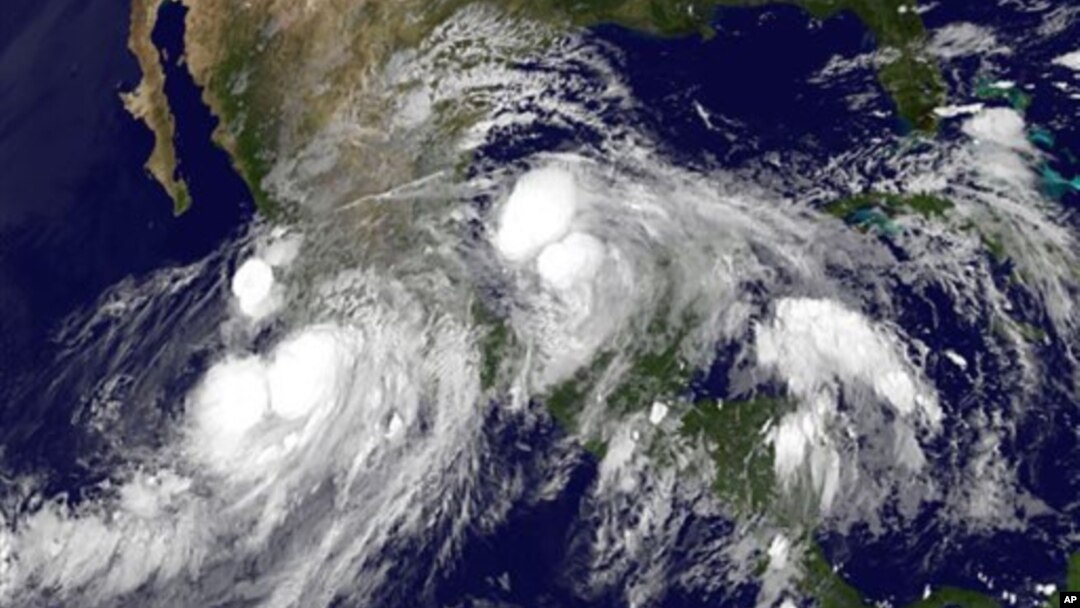
The 2014 Atlantic Hurricane Season Outlook published by the National Oceanic and Atmospheric Administration (NOAA) predicts a near normal or below normal season.
The Outlook shows general trends over the next six months for the North Atlantic, Caribbean Sea and Gulf of Mexico, says NOAA Administrator Katherine Sullivan.
"NOAA predicts the Atlantic hurricane season in 2014 will have a range of eight to 13 tropical storms, three to six of which will become hurricanes; and one to two of those may grow in strength to become category 3 or higher major storms," said Sullivan.
Sullivan says the main driver of this year’s forecast is the anticipated development of El Nino, a weather pattern over the tropical Pacific which reduces the intensity of tropical storms in the Atlantic.
“El Ninos also increase the trade winds and the atmospheric stability across the Atlantic basins and those factors also make it even harder for hurricanes to develop," she said.
In 2013, NOAA forecast an extremely active hurricane season, however the storms fell short.
This year, the agency has improved its weather and forecasting models, which are being used by a number of Western Pacific and Indian Ocean rim nations. NOAA officials have also rolled out an Internet program that allows the public to see the storm surge threat to their community on an on-line map.
Administrator Sullivan emphasized that although NOAA expects fewer hurricanes than normal, the public needs to pay attention to warnings and be prepared.
“No percentage number, no probability number, high or low, erases the fact that the real message is that we’re starting into hurricane season, any section of our coastline can be hit by a severe tropical storm and one storm, whatever the probabilities are, one storm can wreak tremendous havoc," said Sullivan.
NOAA will issue an updated outlook in early August, just prior to the historical peak of the season.


