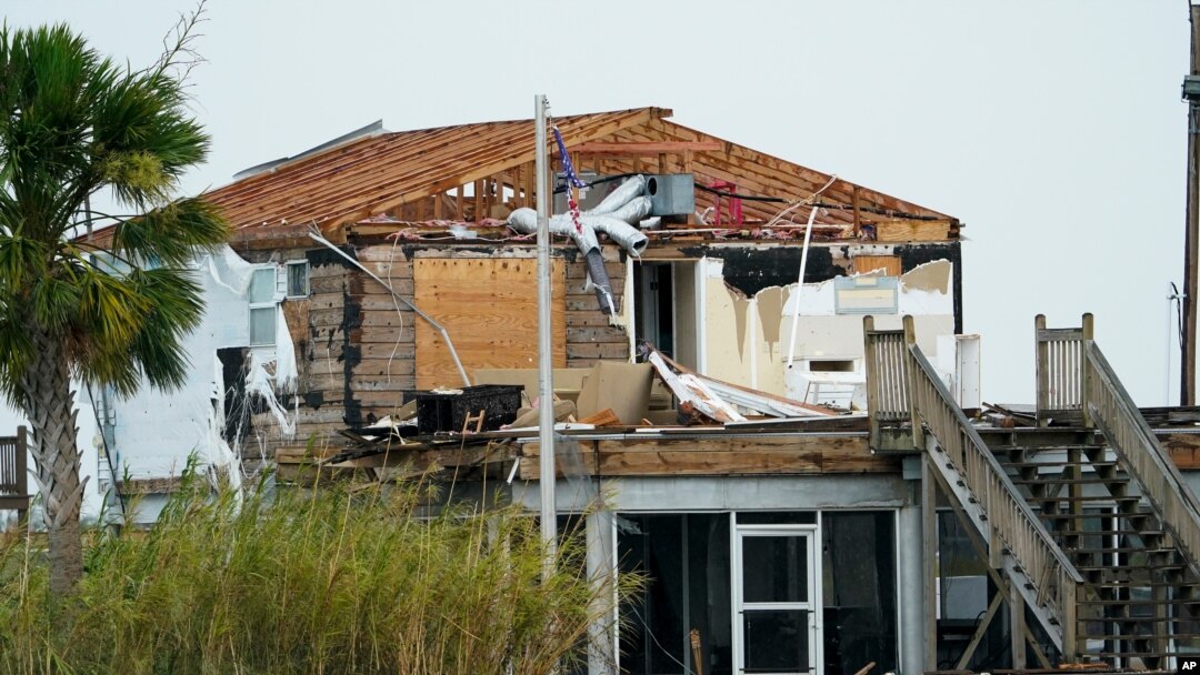
The former hurricane known as Laura has so far been the most intense and dangerous storm of this year's Atlantic hurricane season, according to the U.N.’s weather agency, the World Meteorological Organization.
Laura is now just a tropical depression, spreading heavy rain and thunderstorms across the east-central United States, forecasters said. But as the storm crossed the Gulf of Mexico earlier this week, it strengthened from a Category 1 hurricane to a Category 4 in less than 24 hours. Forecasters recorded wind speeds as high as 240 kph.
As Laura came ashore early Thursday in southern Louisiana, the U.S. National Hurricane Service was predicting an “unsurvivable storm surge,” of 4.5 to 6 meters. While first reports had indicated the surge was not as high as anticipated, later information confirmed the accuracy of the prediction.
The system destroyed property, downed trees and led to power outages throughout the state. The WMO said that since Laura began moving through the Caribbean last week, it had caused more than 20 deaths, most in Haiti.

FILE - Benjamin Luna helps recover items from the children's wing of the First Pentecostal Church that was destroyed by Hurricane Laura, Aug. 27, 2020, in Orange, Texas.
Speaking from U.N. headquarters in Geneva, WMO spokeswoman Clare Nullis said Laura had now generated more accumulated cyclone energy, or ACE, the metric used to measure storm intensity and duration, than the four other storms in August combined. Nullis said there was still a long way to go this year. The Atlantic hurricane season began in June and ends in November.
Nullis said climatologists predict that strong storms – in the Category 4-to-Category 5 range of hurricane intensity – will become more common, primarily because of global warming.
Citing laws of physics, Nullis said, “Storms feed on warm water; higher water temperatures mean higher sea levels, which in turn increase the risk of flooding during high tides, and so the circle goes on.”


